
Nature Conservation 2025 — 31. 7. 2025 — Research, Surveys and Data Management — Print article in pdf
How has the landscape of our protected areas changed over the past 70 years?
The Czech landscape has gone through significant changes over the past decades. These changes have also affected protected areas such as National Parks (NPs), Protected Landscape Areas (PLAs) and Natura 2000 sites. An analysis of landscape changes, their assessment, and understanding may lead to better management and future governance of these areas.
In addition, the responsible manager must balance multiple conflicting interests in these areas. Landscape change assessments may help answer the question how to manage and use the landscape for production, recreation, and nature conservation. Based on four time horizons at which we assessed changes in landscape cover and anthropogenic pressure, we present findings of the changes that have occurred in our protected areas.
. © David Outrata")
The Pálava/Pavlov Hills Protected Landscape Area and Nové Mlýny waterworks/water reservoirs (South Moravia). © David Outrata

Analysed areas and land cover stability rate in the period under study. Source Nature Conservation Agency of the Czech Republic and outputs of the project.
Why track landscape changes?
A five-year project titled Landscape Monitoring was carried out at the Silva Taroucy Research Institute for Landscape and Ornamental Horticulture between 2018 and 2022, under a contract with the Ministry of the Environment. Its aim was to provide NP and PLA Administrations and the entire Ministry with information on the development of the landscape in all 30 large-scale protected areas (LSPAs). The same analyses were carried out for selected Natura 2000 sites and for areas where designation of an NP or PLA is considered. Based on comparable data across LSPAs throughout the Czech Republic, this information can then be used for further management and decision-making in the areas.
Methods
Data on landscape use were acquired by means of manual vectorisation, i.e. digitisation of information from map data in ArcGIS. Thanks to diverse data sources used, nine categories of landscape cover could be distinguished (Arable land, Permanent grassland, Gardens and orchards, Vineyards and hop gardens, Forests, Waterbodies, Built-up areas, Recreation areas, and Other areas). These were processed on the basis of the 1:25,000 Military Topographic Maps of Czechoslovakia created between 1952 and 1956. We further used the Military Topographic Map from 1988–1995, the Basic Topographic Map made between 2002 and 2006, and finally aerial photographs from the years 2016 to 2020 were used. These four time horizons, simply indicated as 1950, 1990, 2004, and 2016, depict the landscape at key milestones which influenced its further development. In the 1950s, collectivisation of agriculture took place, the German population had been displaced, and the first protected areas were being established. The year 1990 marked a change in the political and economic regime with major consequences for the landscape, e.g. changes in agriculture, but also in nature and landscape protection, including the Nature and Landscape Protection Act. In 2004, the Czech Republic entered the European Union, which introduced many changes to the Czech landscape, such as new measures under the Common Agricultural Policy and in the field of nature conservation. The current state of the territory was then elaborated with the data from 2016 to 2020. The minimum size of mapped polygons was 0.8 ha with a minimum width of 40 m. Linear elements were not taken into account in these analyses.
Data on anthropogenic pressure on the landscape were processed in a similar way and at analogous time intervals. These included built-up areas, recreation areas, and linear infrastructure (ski lifts, cable cars, power lines) and further roads, paved paths, and streets. Built-up and recreation areas were defined above a size of 0.2 ha. Separately, data on buildable areas showing possible their development potential was obtained from the Regional Offices. To process this detailed data, more accurate 1:10,000 maps were used – the oldest time horizon was processed based on Military Topographic Maps from 1957 to 1971 and then from Basic Topographic Maps from 1988 to 1993. The 2004 and 2016 time horizons were completed using available orthophotographs and based on the ZABAGED database.
 – sandstone areas with rock towns surrounded by the rural landscape. © David Outrata")
The Broumovsko Protected Landscape Area (eastern Bohemia) – sandstone areas with rock towns surrounded by the rural landscape. © David Outrata

Current land cover of the areas studied. Source Nature Conservation Agency of the Czech Republic and outputs of the project.
Changes in landscape cover and structure
Looking at changes in the landscape cover of NPs and PLAs, an increasing dominance of forest is particularly noticeable. Its proportion in all NPs and PLAs together increased from 55% to 63% over the 70-year observation period. The forest area grew most strongly until 1990. On the contrary, more intensive forms of farming declined, with a decreasing proportion of arable land (from 23% to 9%), while the total permanent grassland area increased from 17% to 21% after a slight decline before 1990. At the same time, the change from arable land to permanent grassland area was the strongest, and its intensity has increased to the present day. An increase in area was recorded for waterbodies, mainly due to the construction of waterworks until 1990.
The development varies however strongly across protected areas. National Parks are generally more forested (an increase from 70% to 79%) and both arable land area and permanent grassland area have seen a significant decline. The overall stability is also higher, with 83% of the landscape cover in National Parks remaining unchanged over the four time horizons, while changes were observed in 30% of the area in Protected Landscape Areas. Logically, we also found a lower proportion of built-up areas in the National Parks and a lower increase in built-up areas over the observation period.
From the perspective of landscape change, the 30 LSPAs can be divided into two basic groups. One includes mostly ‘forest’ areas, i.e. PLAs and all National Parks, having a higher landscape cover stability and also predominantly forested areas. Typical representatives are mountainous PLAs like the Beskydy, Jeseníky, and Jizera Mountains PLAs. The other group also comprises extensive areas of cultural landscapes significantly altered by humans, represented by e.g. the Central Bohemian Highlands, Bohemian Karst, and Blaník PLAs. This division relates to their main values and possible threats. Forest areas are valuable for their stability and forest ecosystem integrity, but are threatened by activities and structures leading to undesirable fragmentation of the area. The benefits of areas with more open agricultural landscapes are the diversity and harmonious development of human activities and nature. Threats are mainly found in an increase in human activities and strong homogenisation of the landscape structure, which manifests itself by e.g. an increase in average land parcel size when assessing all LSPAs together.
We also studied whether proportion of stable landscape parts varied with date of PLA designation. When making a division into groups of areas designated in 1955–1970, 1971–1988, and 1989–2016, no major differences between the areas were found. Looking at the last designated PLAs, i.e. Brdy and Bohemian Forest, largely forest landscapes without settlements are protected here, and this trend, which probably means a simpler negotiating process when creating new PLAs, is also found with prepared NPs and PLAs.
. © David Outrata")
Mountain range in the Jeseníky Protected Landscape Area (northern Moravia). © David Outrata
Anthropogenic pressure
The assessment of built-up and recreation areas showed a steady increase. Interestingly, while built-up areas are more represented in PLAs and showed an increase, National Parks have a stronger representation of recreation areas due to their considerable extent in Krkonoše National Park. Built-up and recreation areas are unevenly distributed across the protected areas. Built-up areas increased more in the vicinity of larger towns in PLAs, especially after 1990 as part of the suburbanisation effect. These are e.g. the Bohemian Karst and Moravian Karst PLAs, the Central Bohemian Highlands PLA, and the Jizera Mountains PLA. Moreover, the current proportion of built-up areas correlates with the area of developable land, so it can be assumed that the differences between protected areas will rather increase, and pressure for development will especially take place at sites where more built-up areas are already present. Recreation areas are more represented in the mountains, where they include ski resorts, which (especially after 1990) have significantly increased in area and include linear infrastructure such as cableways and ski lifts. Elsewhere, the proximity to clients from large towns or other specifics such as spa centres manifests itself: an abundance of golf courses in the Bohemian Karst near Prague and in Slavkov Forest near Carlsbad and Marienbad.
Also the development of the observed roads has its own patterns. The length of the roads did not change much in total. Locally, roads were closed, often for reasons of nature conservation, while elsewhere new road sections were built. The increase in streets correlates with the increase in development. This does not count for paved paths. In predominantly forested areas, including National Parks, a stagnation or expansion of the path network took place, apparently hand in hand with forestry and recreational activities. By contrast, in more open areas with meadows, pastures and fields, the total road length declined, mostly until 1990, as a result of agriculture collectivisation of land consolidation.
. © David Outrata")
The Krkonoše/Giant Mts. National Park (eastern Bohemia). © David Outrata
Selected Natura 2000 sites
Outside of the LSPAs, analyses were also carried out for selected Natura 2000 sites, including areas in the Ore Mountains (Klínovecké Krušnohoří SCI, Krušnohorské plató SCI, Novodomské rašeliniště – Kovářská Bird Area, Východní Krušné hory Bird Area) and areas largely overlapping with the military training areas Boletice Bird Area and SAC, Hradiště SAC, Doupovské hory Bird Area, and Libavá Bird Area and SAC. In southern Moravia, sites at the confluence of the Morava and Dyje rivers (Niva Dyje SCI, Soutok-Podluží SCI, and Soutok Tvrdonicko Bird Area) were selected, as well as the Bzenecká Doubrava – Strážnické Pomoraví Bird Area. The Litovelské Pomoraví SAC largely overlaps with the PLA of the same name.
In these groups, some similarities but also different underlying trends can be traced. The areas in the Ore Mountains are situated in a mostly stable forested landscape with a minimum of development and recreation, and the forest expanded moreover over time. In Natura 2000 areas overlapping with military training grounds, a relatively large change in landscape cover was observed. Thanks to the military use we did not observe intensive human activities here. These areas were mainly overgrown with forest and a relatively large part remained permanent grassland. A higher proportion of forest and less development (compared to PLA average) are characteristic of the area along the Morava river. What differs is that the proportion of arable land in the marginal parts increased or stagnated (Litovelské Pomoraví), so that the overall intensity of agriculture increased.
Parts of the investigated Natura 2000 sites which do not overlap with the current NPs and PLAs are important from the conservation perspective also for their securing landscape connectivity in the LSPAs. Boletice acts as an important stepping stone between the Šumava and Blanský Forest PLAs, the Doupov and Ore Mountains between the Slavkov Forest and Elbe Sandstones PLAs, the Soutok and Bzenecká doubrava sites are situated between the Pálava and White Carpathians PLAs, and finally Libavá lies between the Litovelské Pomoraví and Poodří PLAs.
How do the newly prepared NPs and PLA stand in terms of landscape development?
The government‘s programme declaration explicitly lists three new areas to become NPs or PLAs: Křivoklátsko NP, Soutok (as an NP in the declaration, now being discussed as a PLA) and the Ore Mountains PLA. Křivoklátsko NP should be established in the central part of the Křivoklátsko PLA and is similar to the other already established National Parks in the observed features: it is a stable highly forested area (97% of the area was forest during the observation period) with a minimum of anthropogenic structures. Woodland also prevails at Soutok and in the Ore Mountains, where anthropogenic structures are at the same time represented only minimally. The Ore Mountains belong to a group of PLAs characterised by a high stability and forest cover. The core areas consist of current Natura 2000 sites. There did not use to be many built-up areas, but their size increased again after 1990, and recreation areas increased even stronger. Also Soutok is predominantly forested and stable in terms of landscape cover with a minimum of built-up and recreation areas, but at the same time, an intensification of agricultural activity was observed in the marginal parts of the current Natura 2000 sites over the years.
. © Jaroslav Vojta")
Lowland area with floodplain forests in the Litovelské Pomoraví/Litovel Morava River Protected Area (Central Moravia). © Jaroslav Vojta

Representation of land cover categories in the large-size Specially Protected Areas at the monitored time horizons. © Tomáš Janík

Several publications were produced under the project. Results for all large-size Specially Protected Areas are summarised in the Atlas of Landscape Changes in Large-size Specially Protected Areas 1950-2020. ©Tomáš Janík
Future trends
Our National Parks and Protected Landscape Areas represent a diverse range of landscapes, but share some trends in landscape change. These include an increase in forest and permanent grassland area, most notably through a change from arable land. Built-up and recreation areas have also increased, albeit unevenly across the territories. Our research also points to potential values of and problems in the areas. On the one hand, they are mostly stable forested areas with an expanding road network and (in the case of attractive mountainous areas) also recreation areas, particularly ski resorts and related infrastructure. On the other hand, there are areas with a higher proportion of meadows, pastures and fields with a decline in roads and a simplified landscape structure, where it is important to maintain landscape diversity and a harmonious relationship between man and nature. Moreover, if we take a similar perspective on the areas considered for establishing an NP or PLA, such as the part of Křivoklátsko, the Ore Mountains, and Soutok, we can conclude that they do not significantly differ in the observed features, and are suitable candidates to be designated an NP or PLA from the landscape perspective.
We are currently, for the next five years, comparing the NPs and PLAs and their immediate surroundings and the potential for designating new PLAs and NPs. The outputs from both projects, including an atlas and a geoportal, can be found at www.monitoringkrajiny.cz. ■
- - - -
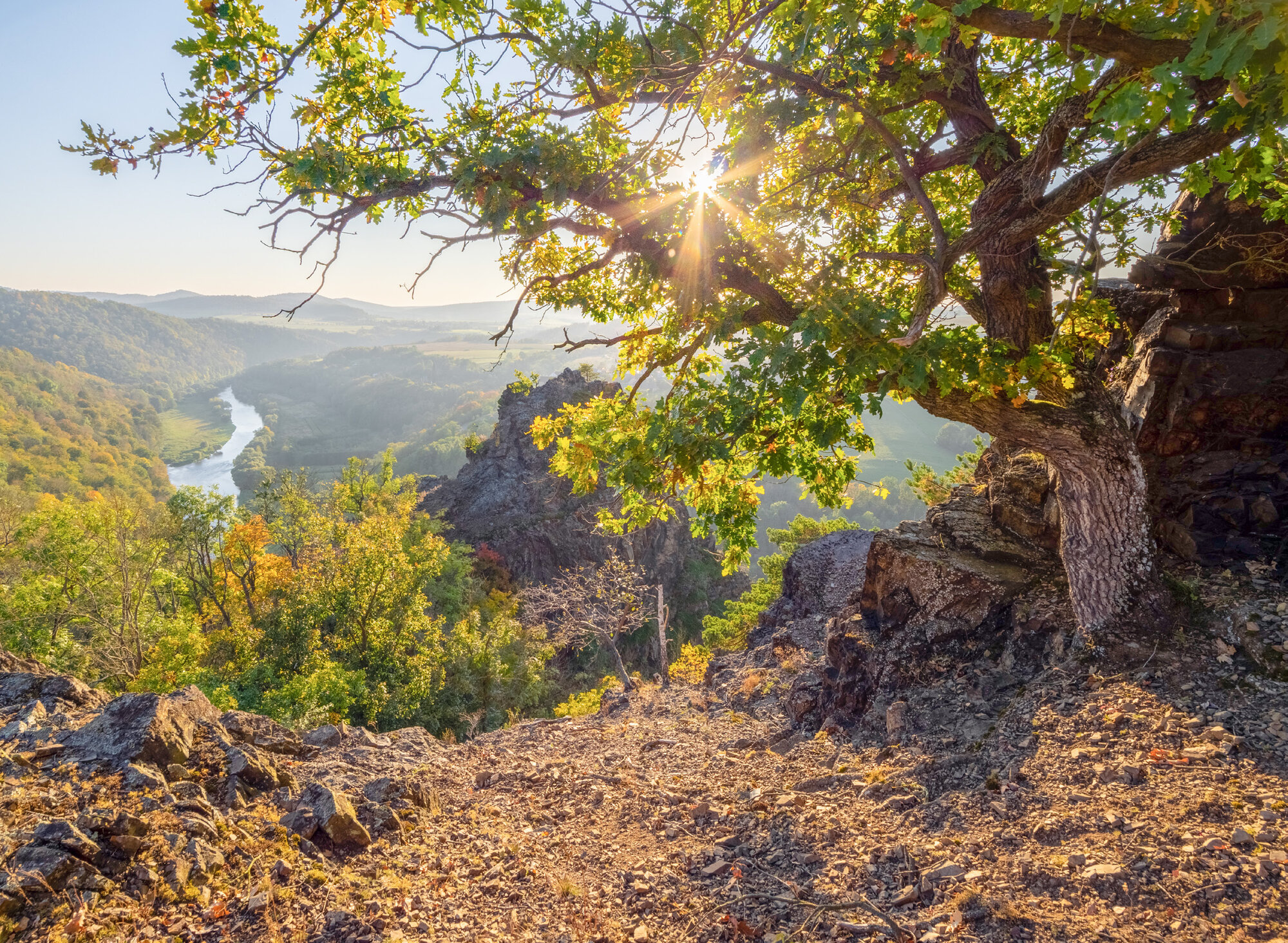
Cover photo: The Berounka River in the Křivoklátsko Protected Landscape Area (Central Bohemia).
© Jaroslav Vojta